-%20%20%20%20%20%20%20S1420087.JPG) |
| Mykulychyn, Ivano-Frankivsk region. Mount Kostel (Gorgany) |
You can start from the Instagram-famous swing that has become a symbol of touristic Mykulychyn, or from the holy spring beside which a signpost of walking routes has been set up. In any case, travellers need to turn off the H 09 highway to the west onto Kosmonavtiv Street, by the narrow-gauge railway museum and the museum of the customary symbolism of the Hutsul region.
 |
| Mykulychyn. The narrow-gauge railway carriage-museum |
Option 1. After walking 3.5 kilometres along the asphalt street, you should cross the mountain stream Prutets Chemyhivskyi by a wooden bridge, which offers an unforgettable view of the river canyon with its rapids and whirlpools. Another 600 metres of climbing along a stony road, and the 8-metre Hutsul landmark will appear before the eyes of the adventure-seeker.
 |
| Mykulychyn. The great Carpathian swing |
Having swung on the swing and had a bite in the cafe, in high spirits we continue the route along the path that stretches past the authentic homesteads of the dwellers of the land of Mountains.

-%20%20%20%20%20%20%20S1420144.JPG)
-%20%20%20%20%20%20%20S1420142.JPG) |
| Mykulychyn. Hutsul homesteads |
A narrow track through the green thickets leads steeply up to the beautiful summit.
-%20%20%20%20%20%20%20S1420019.JPG)
The slopes of the mountain are covered with mixed coniferous-and-deciduous forest, and the wonderful scenes inspire the conquerors of summits at any time of year.
-%20%20%20%20%20%20%20S1420023.JPG)
-%20%20%20%20%20%20%20S1420012.JPG)
-%20%20%20%20%20%20%20S1420011.JPG)
In summer, at the rest stops, you can treat yourself to bilberries that have spread over the hillsides in a dense green blanket. Mount Kostel, 1,049 metres high, has a second name - Gorgan Burachkivskyi - and the ascent of it gives incredible impressions.
As you climb higher, the scattered stones grow larger and create astonishing compositions.
-%20%20%20%20%20%20%20S1420045.JPG)
-%20%20%20%20%20%20%20S1420044.JPG)
-%20%20%20%20%20%20%20S1420031.JPG)
-%20%20%20%20%20%20%20S1420030.JPG)
Like mute sentinels, many-tonne monoliths of bizarre shapes rise up.
-%20%20%20%20%20%20%20S1420075.JPG)
-%20%20%20%20%20%20%20S1420074.JPG)
-%20%20%20%20%20%20%20S1420073.JPG)
-%20%20%20%20%20%20%20S1420072.JPG)
-%20%20%20%20%20%20%20S1420071.JPG)
-%20%20%20%20%20%20%20S1420070.JPG)
-%20%20%20%20%20%20%20S1420069.JPG)
-%20%20%20%20%20%20%20S1420068.JPG)
-%20%20%20%20%20%20%20S1420067.JPG)
-%20%20%20%20%20%20%20S1420066.JPG)
The higher the climb, the greater the steepness and the surge of emotion.
-%20%20%20%20%20%20%20S1420097.JPG)
-%20%20%20%20%20%20%20S1420096.JPG)
-%20%20%20%20%20%20%20S1420085.JPG)
-%20%20%20%20%20%20%20S1420084.JPG)
-%20%20%20%20%20%20%20S1420082.JPG)
-%20%20%20%20%20%20%20S1420080.JPG)
-%20%20%20%20%20%20%20S1420076.JPG)
From the top of the sheer cliff a panorama of the surroundings opens up that takes your breath away and makes it catch.
-%20%20%20%20%20%20%20S1420109.JPG)
-%20%20%20%20%20%20%20S1420105.JPG)
-%20%20%20%20%20%20%20S1420098.JPG)
-%20%20%20%20%20%20%20S1420094.JPG)
The legends of ancient times tell that in these stone wilds the folk leader Oleksa Dovbush held examinations for opryshok recruits, testing the courage and prudence of the newcomers.
-%20%20%20%20%20%20%20S1420127.JPG)
-%20%20%20%20%20%20%20S1420125.JPG)
-%20%20%20%20%20%20%20S1420122.JPG)
-%20%20%20%20%20%20%20S1420111.JPG)
-%20%20%20%20%20%20%20S1420110.JPG)
-%20%20%20%20%20%20%20S1420107.JPG)
That is why the area is also remembered as Dovbush's Rocks. There is no doubt that it was in these glorious lands that the legends of the Carpathians were born and real molfars once lived.
-%20%20%20%20%20%20%20S1420141.JPG)
-%20%20%20%20%20%20%20S1420139.JPG)
-%20%20%20%20%20%20%20S1420136.JPG)
-%20%20%20%20%20%20%20S1420134.JPG)
-%20%20%20%20%20%20%20S1420129.JPG)
-%20%20%20%20%20%20%20S1420128.JPG)
You can see the incredible views from the height of the rocky ridge, feel the flight and repeat the experience of the ascent a second time by another route.
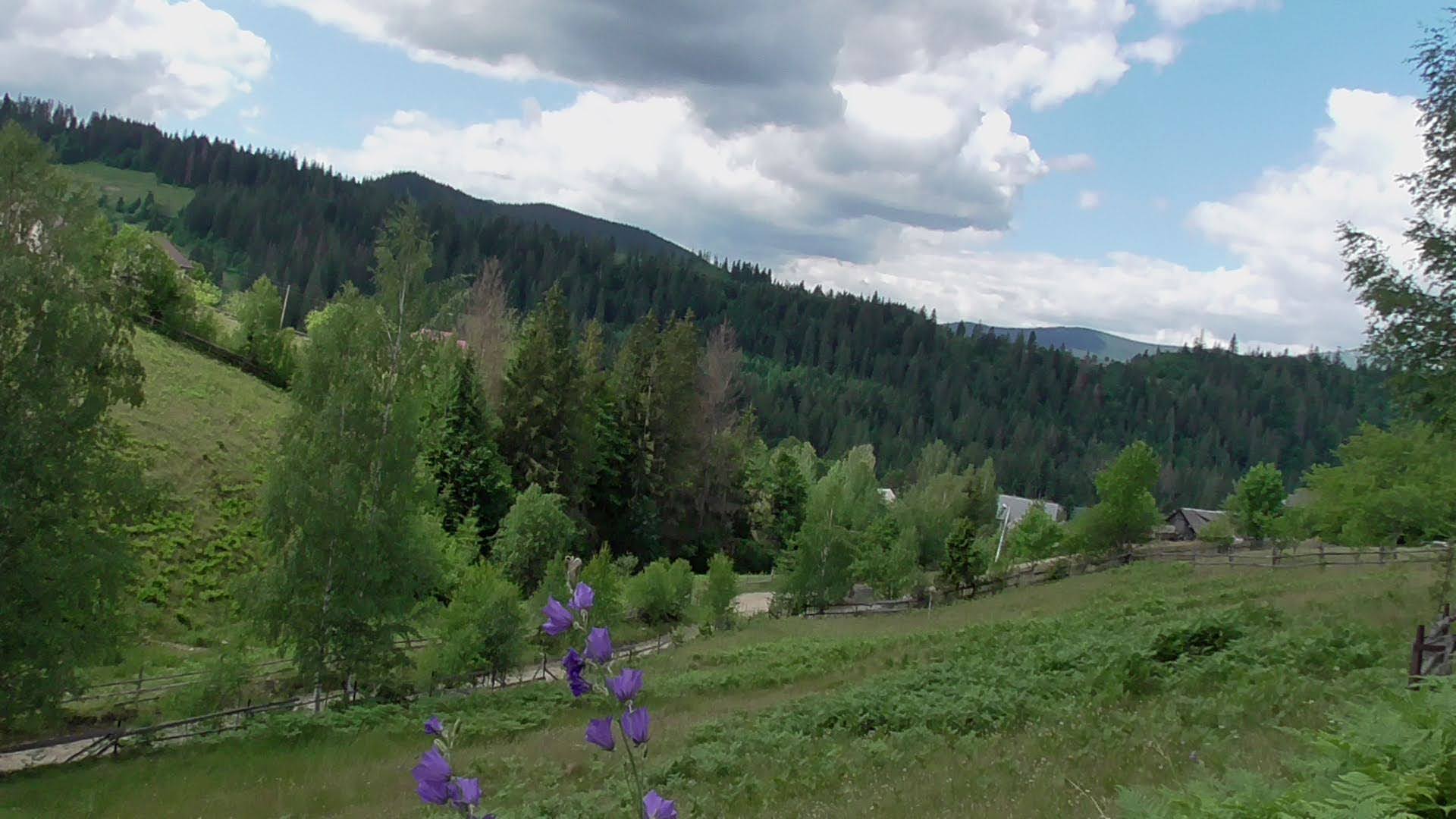
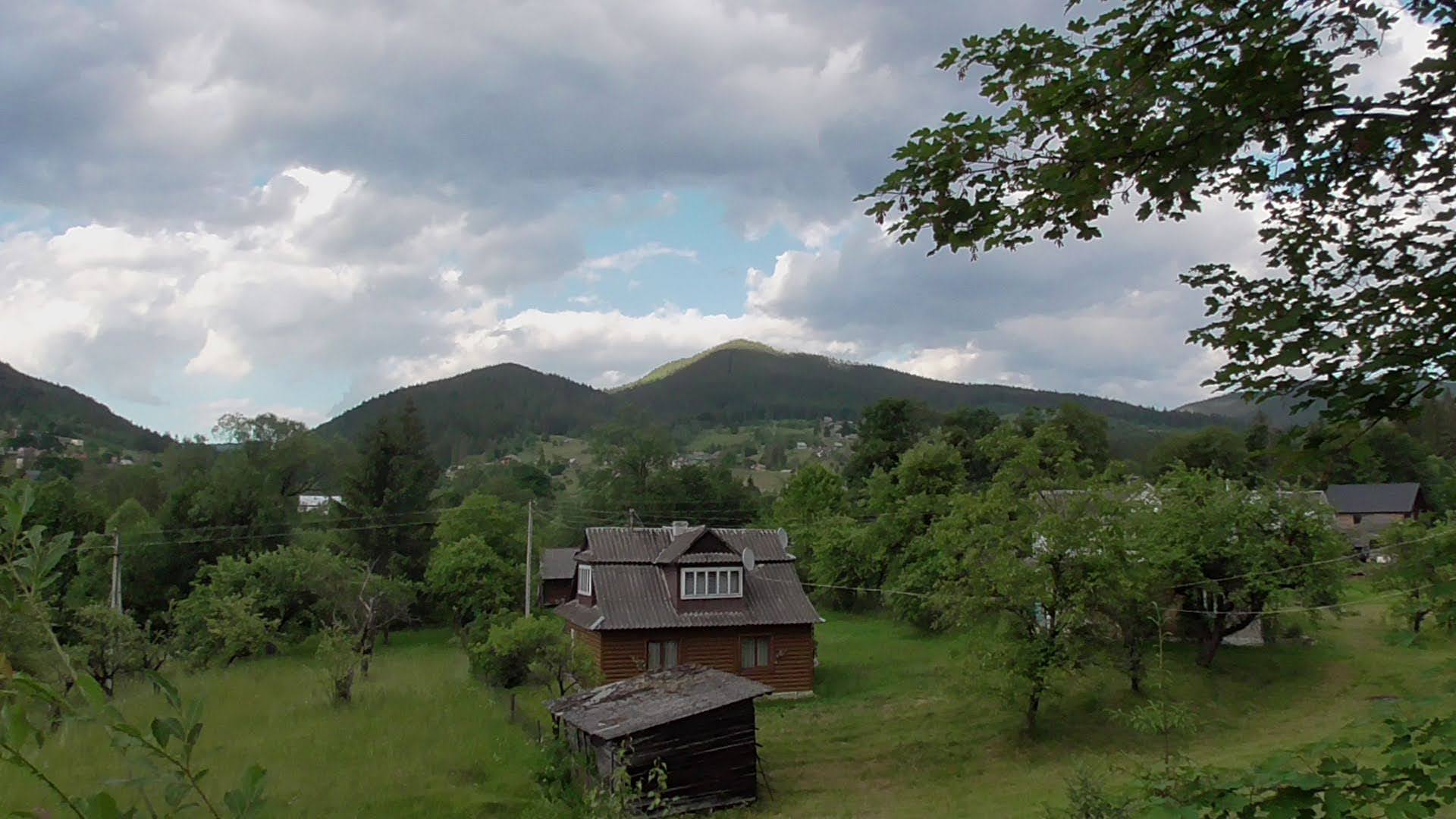
Option 2. After walking 2.5 kilometres along Kosmonavtiv Street beside the river Prutets Chemyhivskyi, you need to cross the mountain stream by a suspension footbridge.

Part of the way lies in a north-westerly direction along a winding street with small hotels and wooden houses.


-%20%20%20%20%20%20%20S1420302.JPG)
At the gathering place for tourist groups, a water spring has been arranged and consecrated, and a sculpture of the Mother of God and gazebos have been set up.

 |
| The little chapel and the holy spring |
A route signpost gives the directions of the hikes and the distances. Some tourists begin the climb up Mount Kostel along the dried-up stream, but it is better to follow the marked route, guided by the marks on the trees and stones.
 |
| The dried-up stream |
Option 3. Part of the journey to the stone garden can follow the route to the peak of the Ukrainian Carpathians Rokyta Velyka. The starting point is by the spring and the sculpture of the Mother of God. This path is further north than option 1, and longer, but it does not go along a trail through the bushes; it follows a stony road with a view of the mountain landscapes.


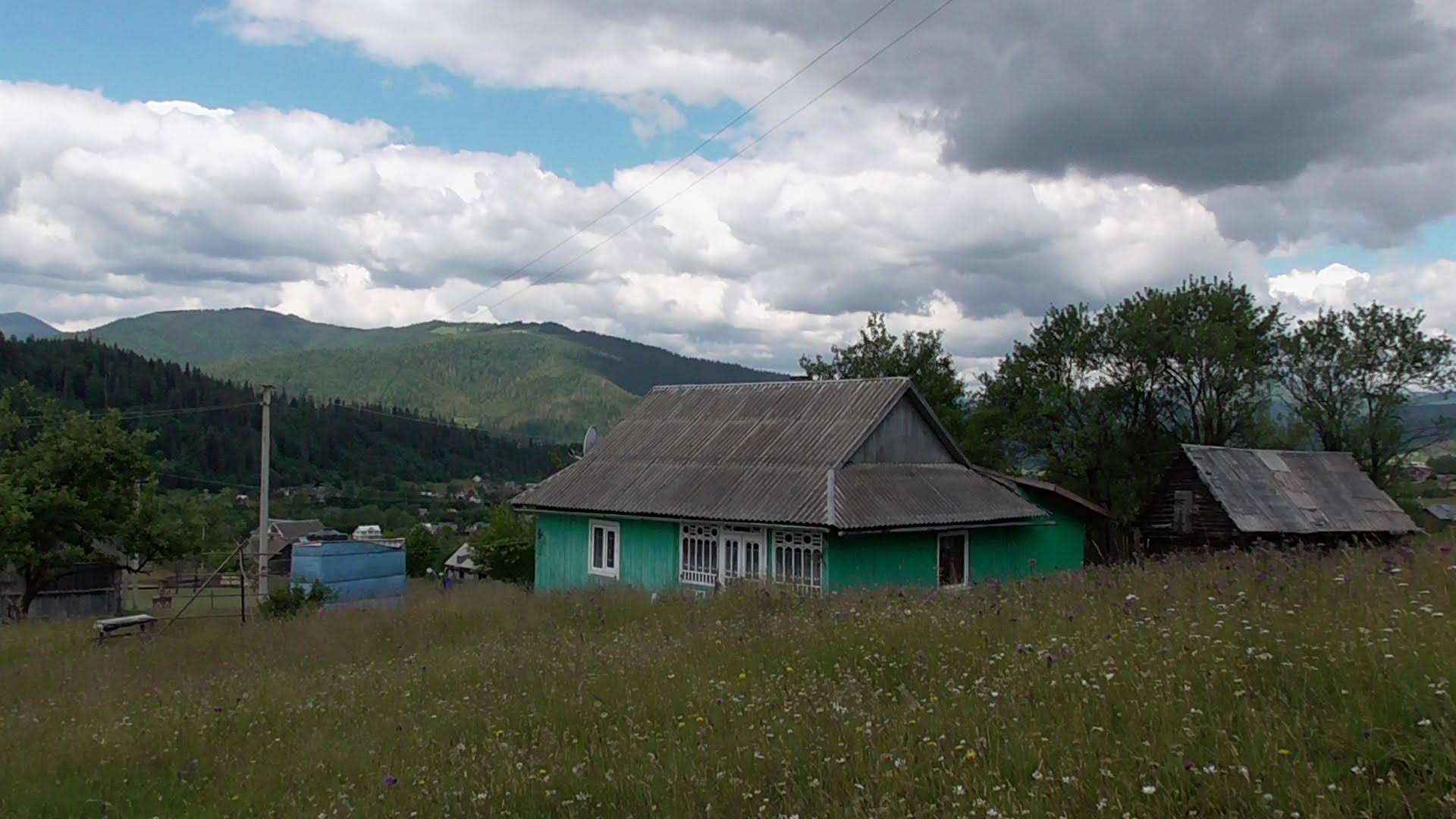
Already at the start of the climb an unearthly-beautiful panorama of the Carpathians and the Carpathian village opens up. Mykulychyn surpasses some towns in area and beauty, yet it is still a rural settlement - and the longest in Ukraine at that.


Several times the road turns in a zigzag, and then leads west along a broad forest clearing with a slight climb.


The healing air, the scent of flowers and the surrounding beauty inspire you to move on further.

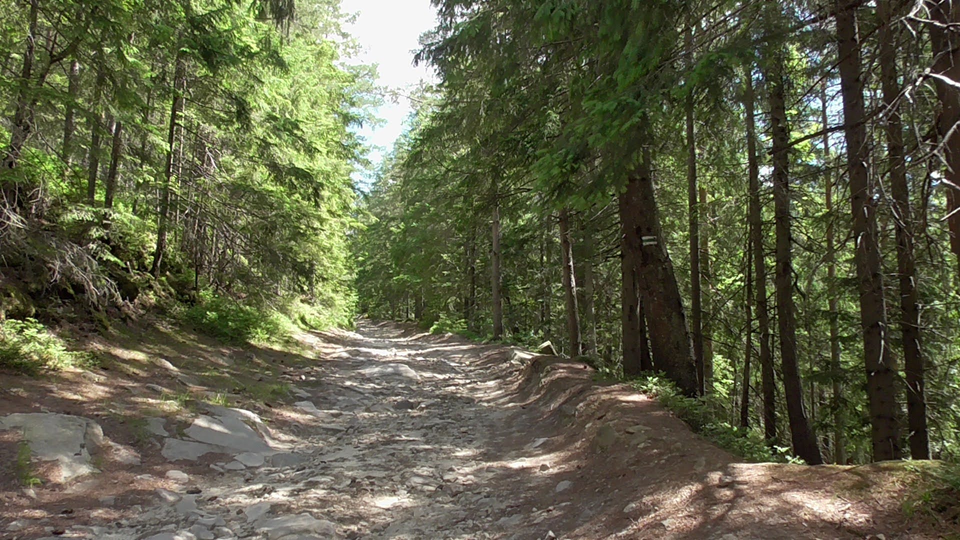


Along the hike, every kilometre or kilometre and a half, gazebos for resting and route markers have been set up.


At a certain stage Mount Kostel will be seen from the south, and at the tourist stopping place with coordinates 48°24'18"N 24°39'39"E arrows will indicate the directions and distance to Mounts Rokyta Velyka and Kostel. Six hundred metres of walking in a south-westerly direction - and Mount Kostel is before you.


No comments:
Post a Comment
Leave your impression