 |
| Chortovi (Chotovi, Chatovi) Skeli |
Historians consider the correct toponym to be Chotovi or Chatovi Skeli, meaning an ancient watch post on the outskirts of the city of the Lion, but folk tales preserve the enigmatic name of the stony upland.
A convenient, short route to this many-sided landmark can be laid out from the centre of the village of Lysynychi. The start is by the first monument to Taras Shevchenko in Ukraine, erected in 1911 for the 50th anniversary of the poet's death. The pedestal of the memorial is made in the shape of a pyramid, from stone quarried in the very quarries we will see just half an hour from now.
 |
| Lysynychi. The monument to T. H. Shevchenko |
The route runs southward to the Zhupan forest, in which beech plantings predominate.
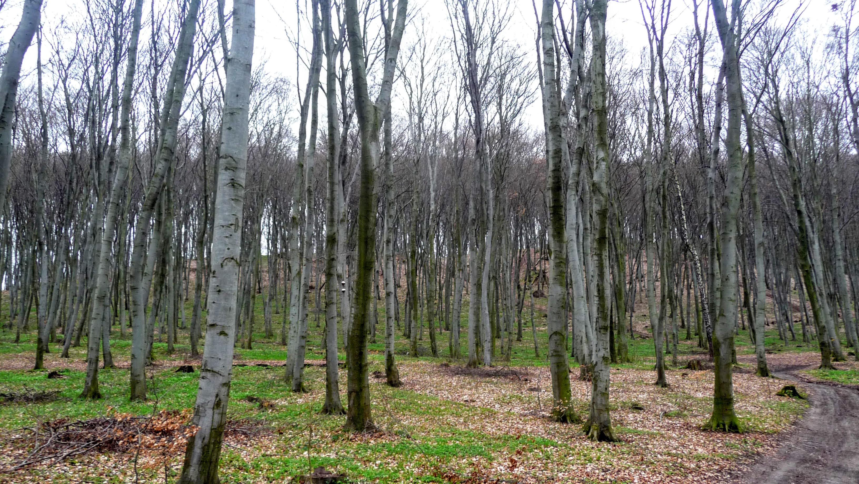 |
| The Zhupan forest. Beeches |
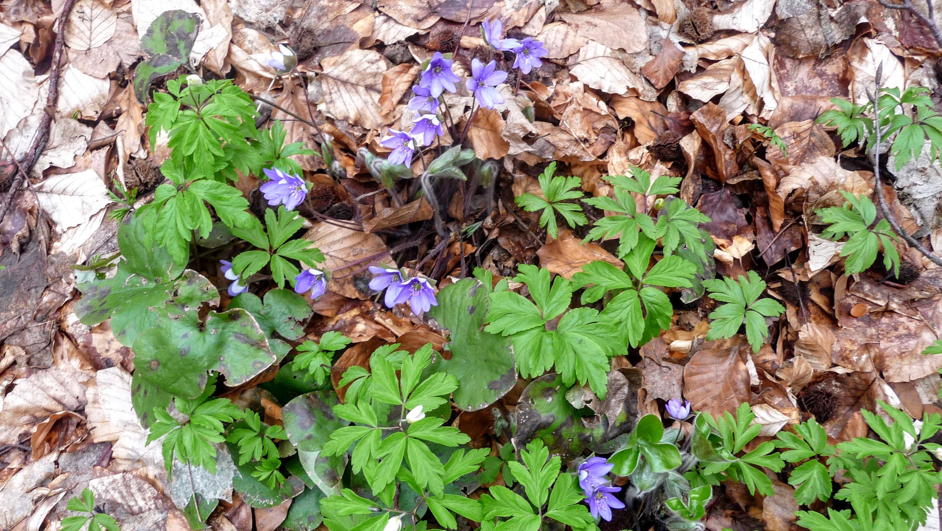
Further and further along the way, the vivid signs of spring's arrival enchant with their beauty. In April every clearing and glade is carpeted with a welcoming five or six species of spring flowers that stir joyful feelings.
 |
| Spring flowers in the forest |
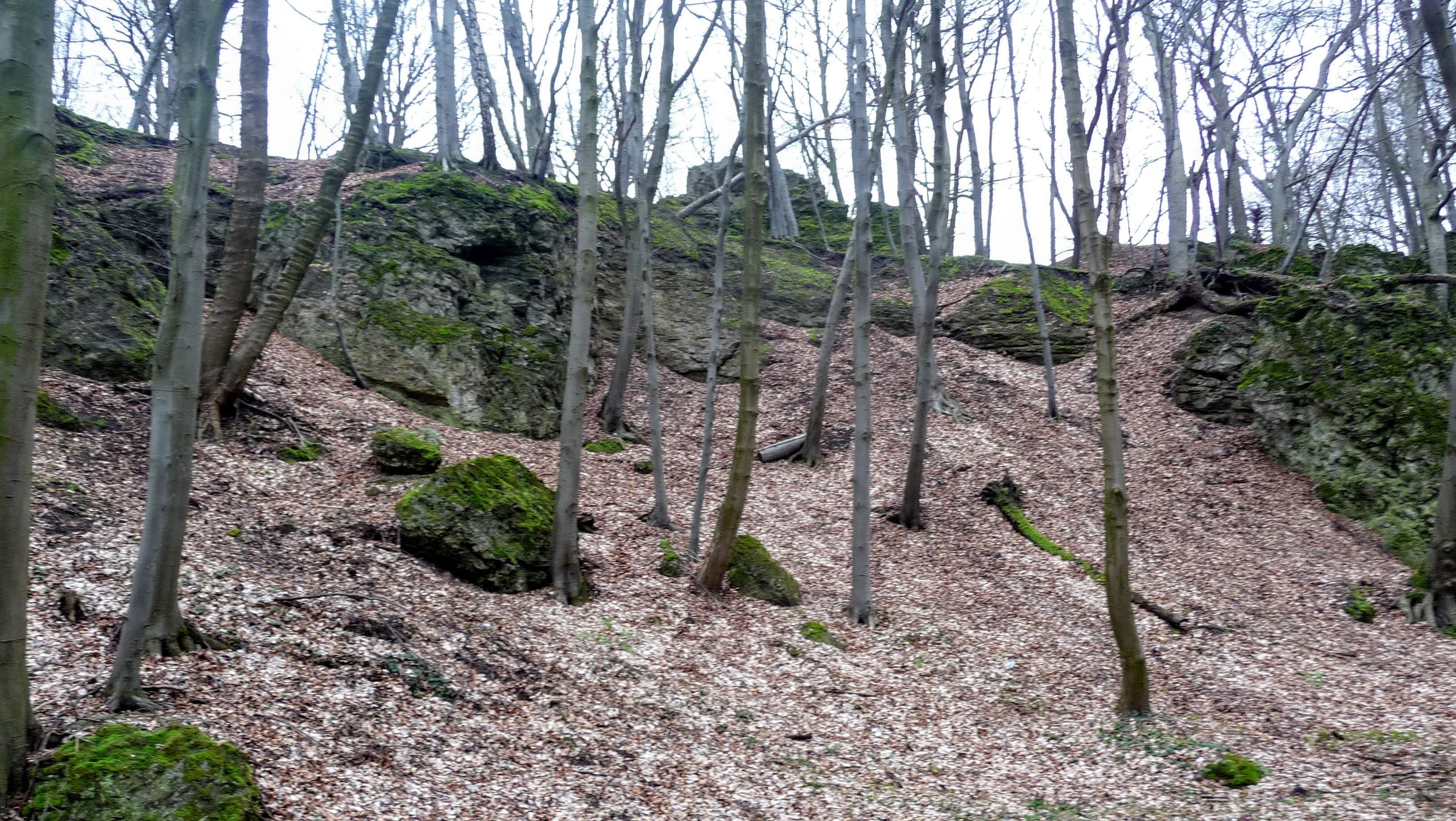
The little web of paths weaves into a single track that gradually leads up to a wooded height. And now the upland soars up in stony monoliths that overhang and form clusters of rock.

 |
| At the foot of the Devil's Rocks |
The rock compositions grow ever more imposing, and the top is crowned by a 20-metre spur.

 |
| The Devil's Rocks |
Archaeological research has established that in ancient times a hunting camp was pitched here, and the hunters' trophies were mammoths, cave bears, reindeer and lions. Household objects, flint implements and other medieval artefacts were also found. The memorial plaque in Lysynychi was placed in memory of the events of 1648, when the army of Bohdan Khmelnytsky was stationed at the foot of the rocks and the local peasants joined the Cossack detachments. Wreathed in legends, the hill was an important strategic point during the fighting, and more than once the influence of supernatural forces on the Chortovi Skeli was confirmed.
 |
| Lysynychi. The memorial plaque to the events of 1648 |
Until the end of the 19th century the rocks were taller, and from their summits Lviv lay as if in the palm of your hand. The quarrying of sandstone for building roads and stone houses led to a considerable reduction in the volume of the rocks. Surveyors used the height of 414 metres above sea level, and before the Second World War a 47-metre triangulation tower was erected on the Chortovi Skeli, with which measurements of the geodetic network were carried out. In 2012, on the site of the triangulation point, a new memorial sign was installed, with the inscription: "A monument of science and technology of international significance. The Central European Geodetic Arc. The Vynnyky geodetic point." The Central European Geodetic Arc was built as an auxiliary to the Struve Arc, whose aim was to link up with the arc of the 30th meridian on the African continent.
 |
| The "Vynnyky" geodetic point |
There are no caves in the rocks; the only grotto is of man-made origin.

The rocky ledges are conquered by lovers of adrenaline and extreme sports. Routes have been laid out for beginner climbers and for the training of true professionals, and classes for the participants of a survival school are also held here.


In memory of the mountaineers and hikers who died while climbing mountain peaks, a memorial plaque has been set on a stone block.
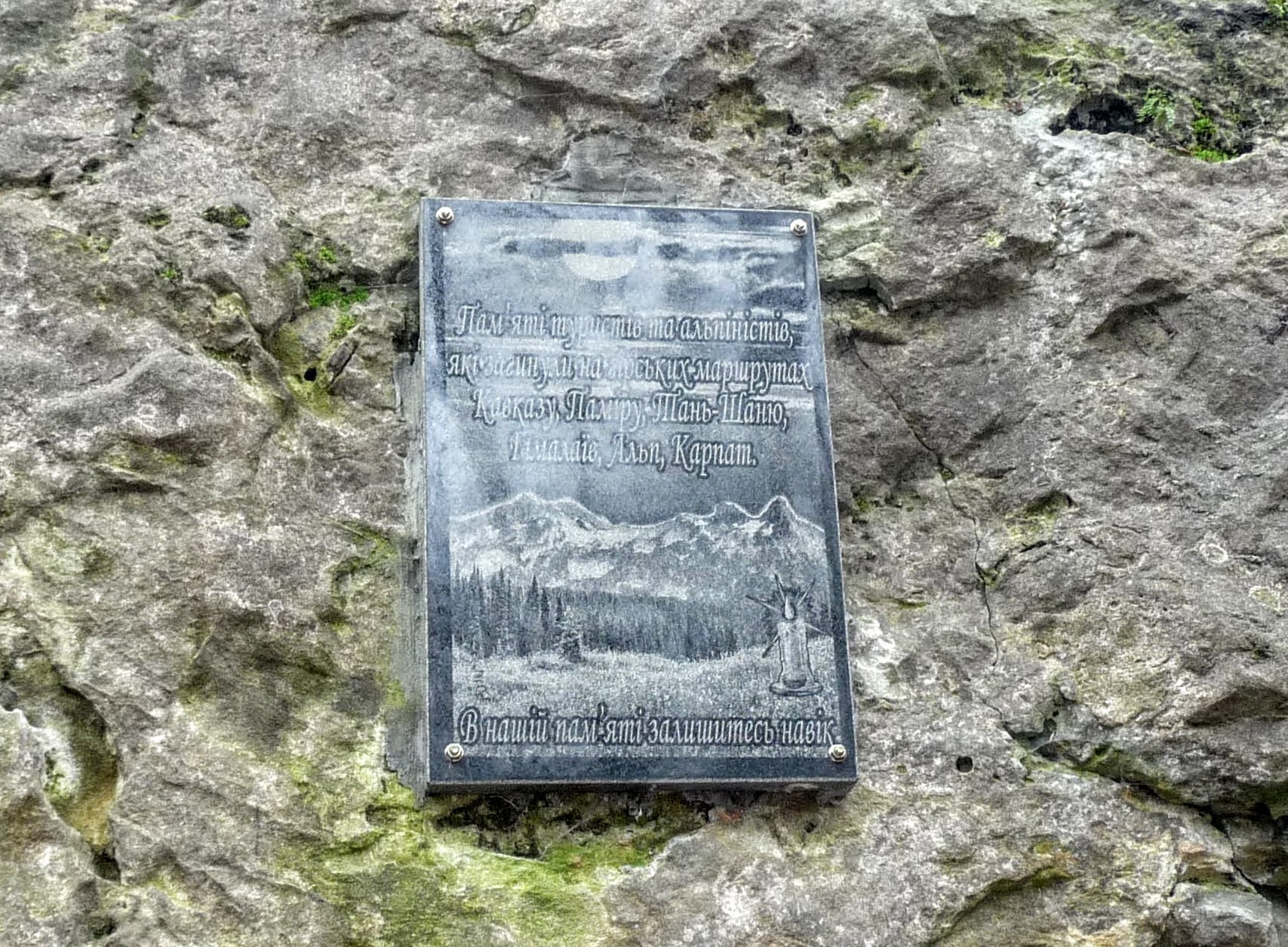 |
| Chortovi Skeli. The memorial plaque to the mountaineers and hikers who perished |
The picturesque landscape, the clean air and the views of incredible beauty have long been dear to the townsfolk and the residents of the surrounding villages. It is important that holidaymakers and tourists take care of this geological nature monument — that they do no harm to the plant cover, and leave no litter or vandal's graffiti on the rocks.
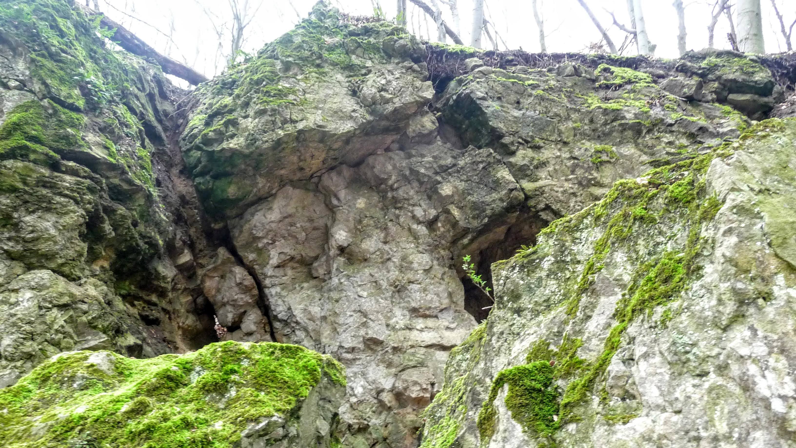

You can reach the Chortovi Skeli from Lviv by bus No. 29 to the centre of the village of Lysynychi, and then head southward, climbing the slopes of the hill all the way.
Coordinates: 49°49'42"N 24°7'5"E
This story is also available in Ukrainian: Чортові скелі. Сторожовий пост, каменоломня, геодезичний пункт, туристична локація

No comments:
Post a Comment
Leave your impression