The Vovcha is a small river of the Black Sea basin.
 |
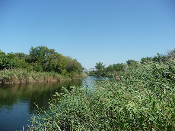
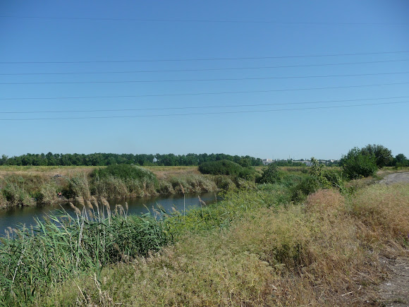
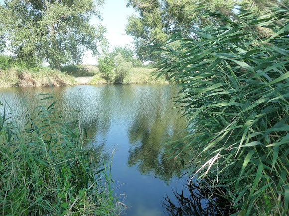
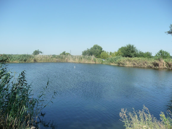
| The Vovcha River. The settlement of Vasylkivka, Dnipropetrovsk region |
The water system of the Left Bank is made up of a multitude of small rivers with quiet currents and picturesque banks, and it is thanks to them that the broad Dnipro, Ukraine's main water artery, becomes mighty.
The length of the Vovcha is 323 kilometres, and its width ranges from a few metres to a few dozen metres.
A left tributary of the Samara, which flows into the Dnipro, it rises on the Donets Ridge at a height of 65 m above sea level.
In the Pokrovsk district, between the railway stations of Zhelanne and Ocheretyne near the village of Yevhenivka, in a gully that is also called Vovcha, lies the source of the river. The stream, no wider than 1.5 metres and up to 30 cm deep, dries up in places during the summer heat.
The flow of the watercourse is interrupted, then life-giving springs appear again, and the little river gradually gathers strength.
Flowing across the territory of Donetsk region, its catchment is replenished by the inflow of the Mokri Yaly and the Sukhi Yaly, which partly dry up.
The Kurakhove and Karlivka reservoirs located on the river serve as a source of water supply in the Donbas, which is poor in water resources.
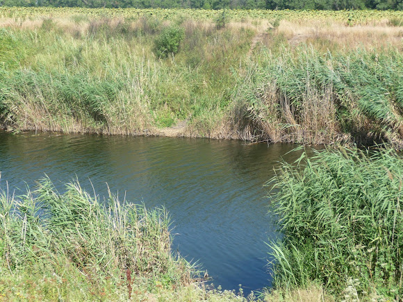
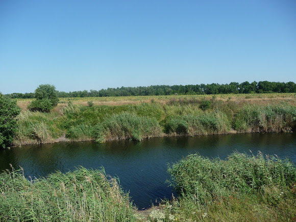
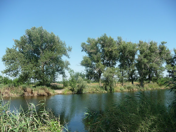
In Dnipropetrovsk region the river becomes full-flowing, with a depth of up to several metres.
Near the village of Filiia, Crimean pines have been planted on the right bank of the Vovcha.
Near Velykomykhailivka, in the middle of the 19th century, a woodland of pine and oak was laid out — the Dibrivka Forest.
Dibrivka is a favourite recreation spot for the residents of this industrial region.
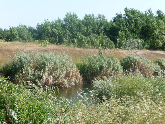
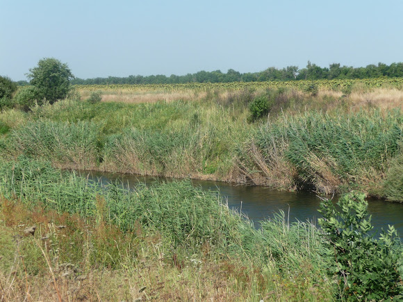
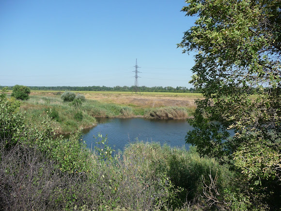
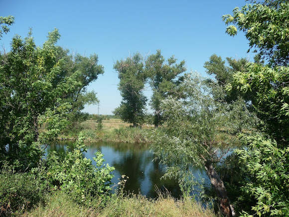
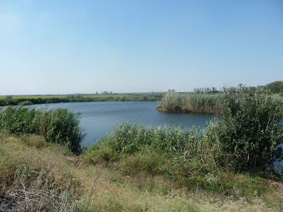
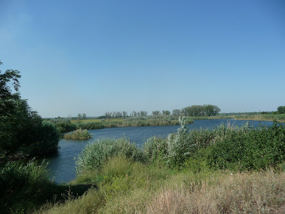
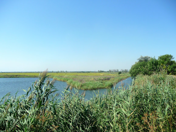
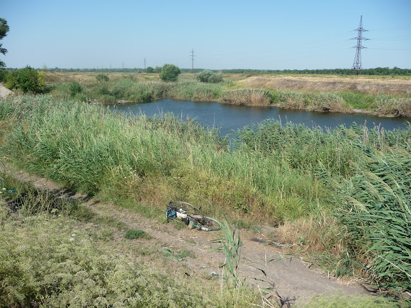
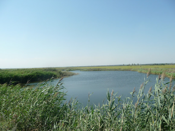
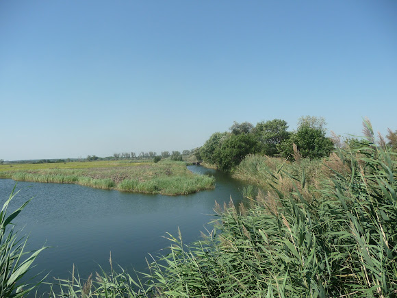
Around its confluence with the Samara, the Vovcha becomes full-flowing and forms a broad floodplain dotted with lakes.
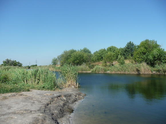
On the gentle banks, rocks sometimes protrude.
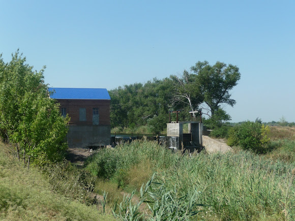
In the settlement of Vasylkivka, a small hydroelectric power station was built in the 1950s.
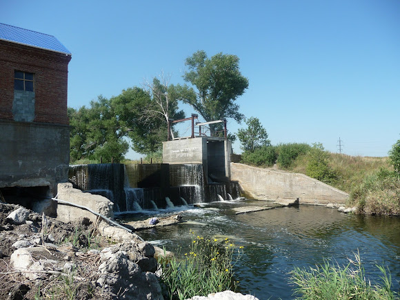 |
| The settlement of Vasylkivka. Mini-HPP |
Having served the population as a source of electricity for only two years, the structure stood in ruins for half a century.
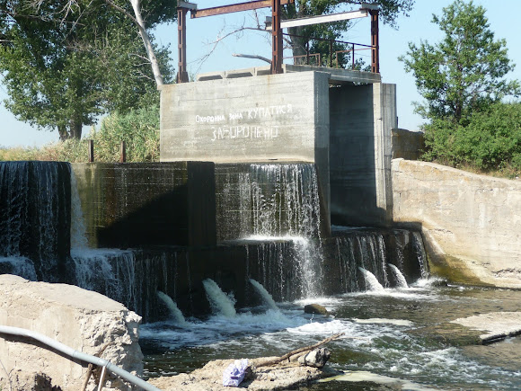
In recent years there have been interruptions in the power supply in the district centre, and then people remembered their mini-HPP, repaired the building and installed new turbines. The age of gigantomania and low utility tariffs is over, and perhaps operating a mini-HPP on a small river will prove profitable.
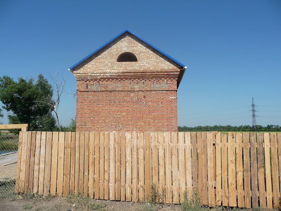 |
| The Vovcha River. The settlement of Vasylkivka. Mini-HPP |
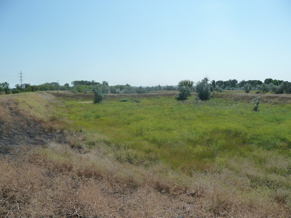
The former basins for irrigating the fields no longer serve their purpose.
There are several versions of the origin of the name Vovcha.
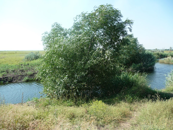 |
| The Vovcha River. A tributary of the Samara |
In documents of the 17th-18th centuries the river is mentioned as Vovchi Vody (Wolf Waters).
Just as wolfberries cannot be eaten, so the river water was considered unfit for consumption.
The Vasylkivka district has its own legend. In this place many wolves once bred, and they dug their dens. From the lairs streams broke through, forming the river.
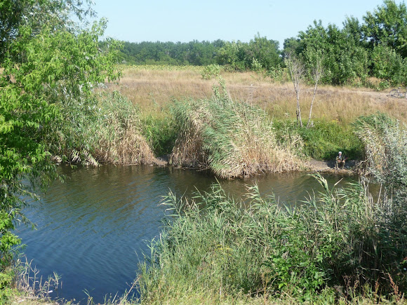
The anglers told me that the Vovcha is rich in pike, perch, crucian carp, catfish and pike-perch, but on that hot August day nothing took the hook.
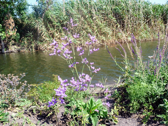
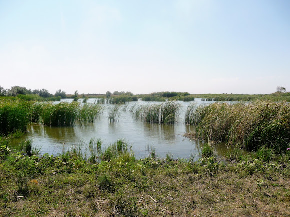
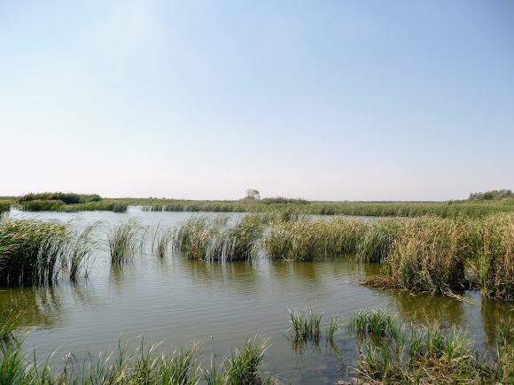
In the river valley there nest cranes, storks, warblers, ducks, geese, avocets, black redstarts, black-winged stilts and other birds and animals listed in the Red Book of Ukraine.
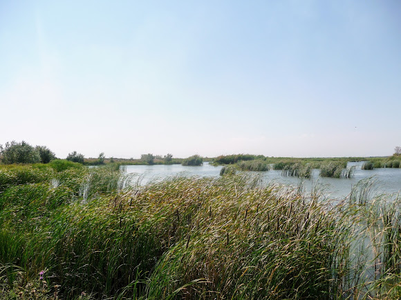
Some have taken a liking to the reeds and the marshes, others to the forest.
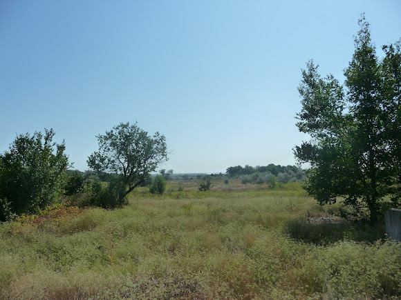
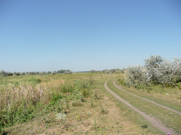
In order to preserve the ecosystem, in 2005 the Bakai landscape reserve of national significance was created on the western side of Vasylkivka.
The valley of this steppe river, covering an area of 690 hectares, was declared a natural area on which rare species of flora and fauna are to be preserved.
The name Bakai comes from the time of the invasion of the Tatar-Mongol horde and, translated from Turkic, means 'a river channel among the reeds, a hollow filled with water'.
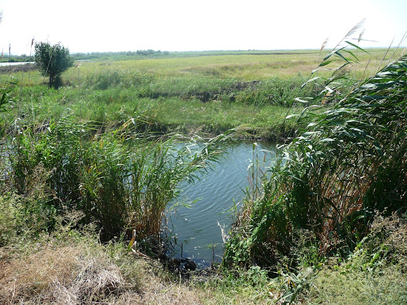
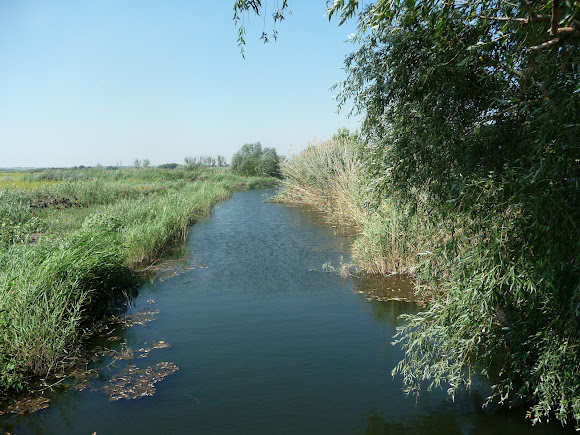
The place where the Verkhnia Tersa and the Vovcha meet resembles marshland.
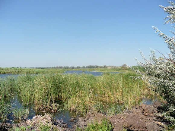 |
| The Bakai landscape reserve |
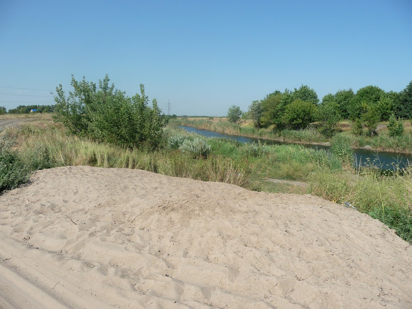
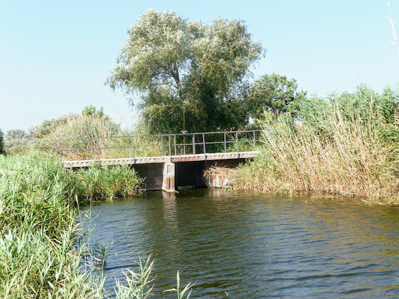
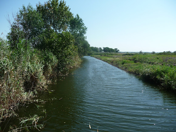
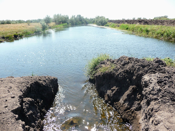
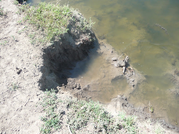
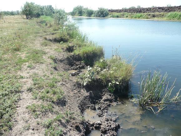
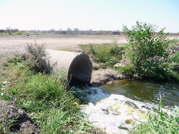
On the drainage canals, sluices serve to regulate the water level, the drop in which has been observed in recent years.
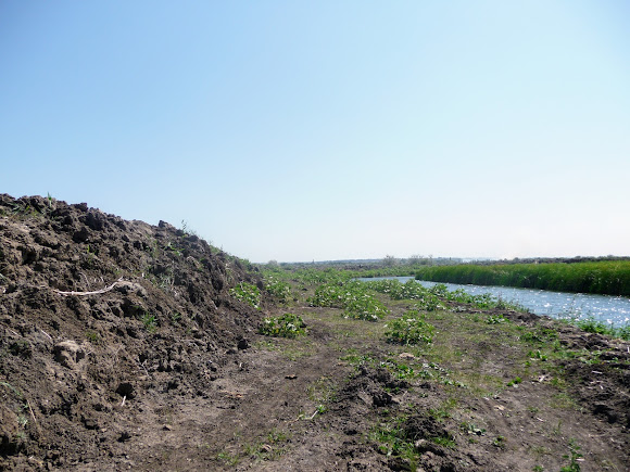
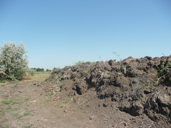
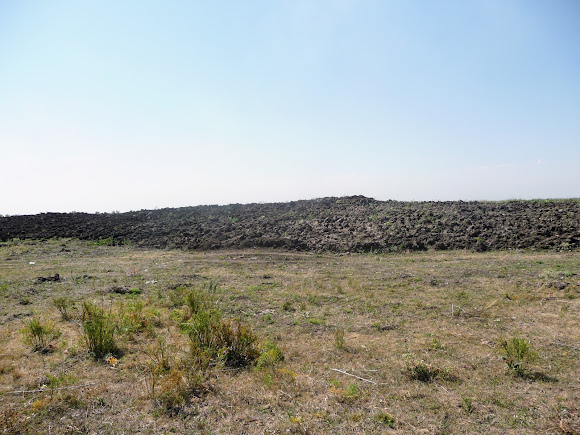
The canals were dug with the help of excavators and other earth-moving machinery.
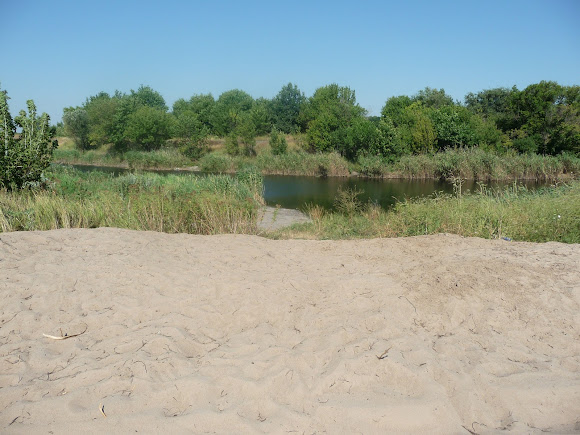
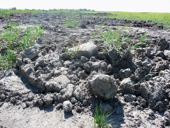
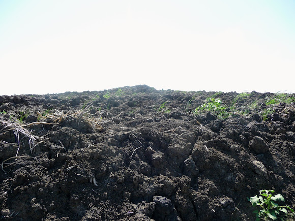
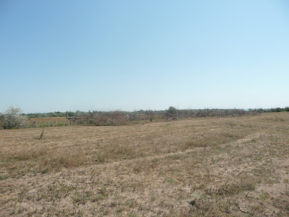
The excavated soil has now filled vast areas of the reserve.
Sometimes the height of these earthen mounds exceeds a person's height.
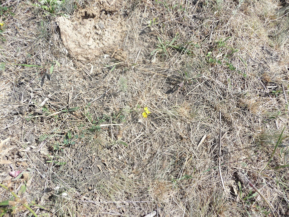
The vegetation and soil cover has been destroyed, along with the nests and burrows.
 |
| The result of burning the grass cover |
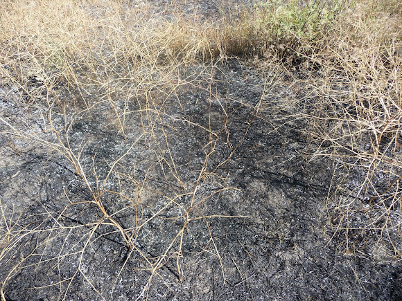 |
| Setting fire to the grass cover on hot days |
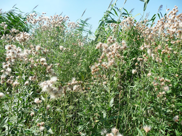
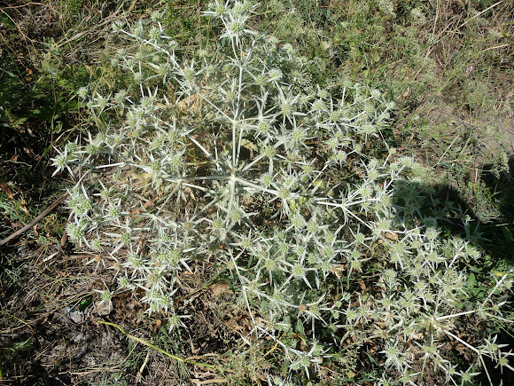
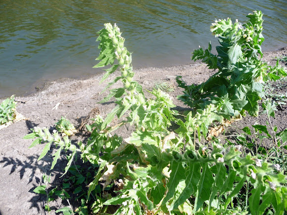
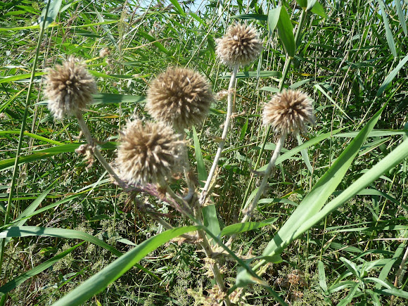
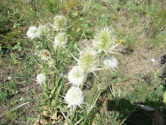
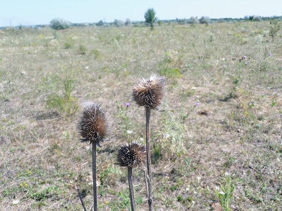
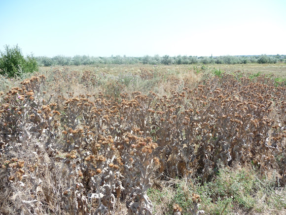
Thistle has taken up residence in this dead space.
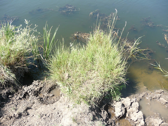
It is obvious that the hydraulic engineering works have led to a reduction in biological resources and fish-spawning grounds, and to the pollution of the Vovcha's waters.
The summer camp for the cows is fenced off with branches, and the grazing has long gone unreplenished.
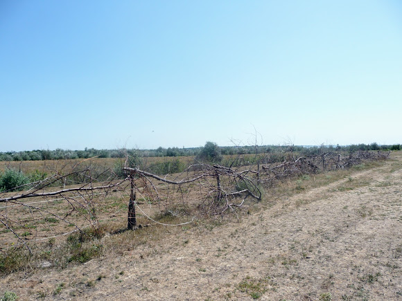 |
| Vasylkivka. An animal pen |
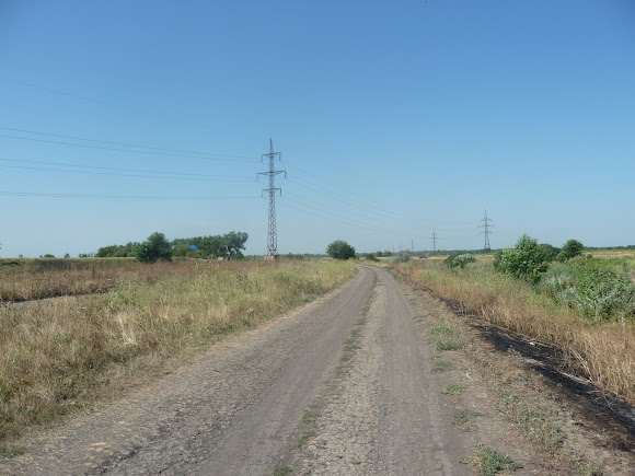
The road leads into the settlement of Vasylkivka.
About this district centre of the Dnipro region, where they love goat's milk and there are several pompous buildings with columns, I will tell you in the next post.
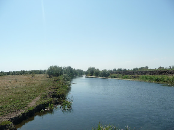 |
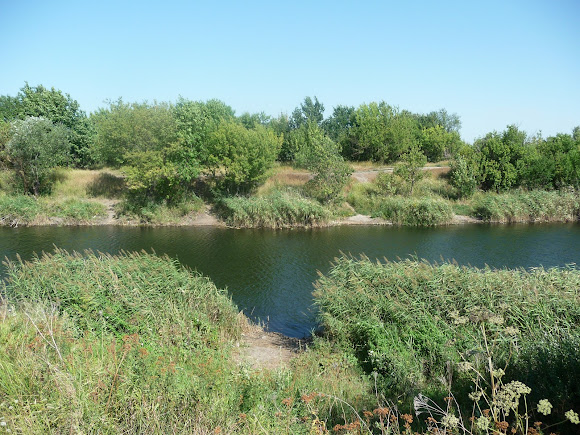
| Vasylkivka, Dnipropetrovsk region. A canal |






















No comments:
Post a Comment
Leave your impression