 |
| Mount Lisniv in the Carpathians, Ivano-Frankivsk region |
On a hike up Mount Yahidna you don't need to lug a heavy backpack, and a brisk march across the territory of the Carpathian National Nature Park will broaden the outlook and fill with new impressions those who love to explore and observe.
The ascent of Yahidna — one of the peaks of the Pokuttia-Bukovyna Carpathians, 1,216 m high — begins in Mykulychyn near the village council and runs southward along a forest road. You can also set off from Tatariv, moving north-east from the central part of the village. In the Mykulychyn variant, about 8 kilometres are covered in 2.5-3 hours with short breaks. At the start of the route the winding road runs along the Prut, but gradually the noisy streams die down, and the dirt road skirts the steep ledges and heads ever higher.


 |
| The road to Yahidna and Lisniv |
The absence of sharp climbs lets you reach Yahidna and Lisniv on quad bikes, bicycles and other vehicles, but off-road jeeping harms the environment, destroys the terrain and endangers those on foot.
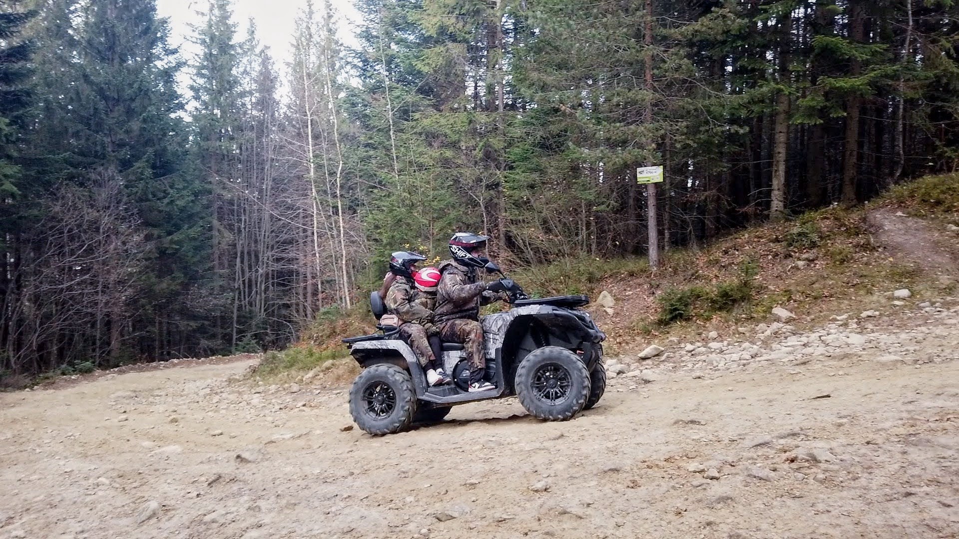 |
| No way around quad bikes in the Carpathians |
For travellers there are gazebos and canopies where you can have a snack and take water with you. The springs are well kept, and the water does not dry up even after a hot summer.


 |
| Springs and gazebos on the route to Yahidna |
At the tourist stops, in order to preserve Carpathian flora and fauna, information stands have been set up, as well as reminder signs about keeping the area clean.


 |
| Information stands along the road to Yahidna |
The last stretch of road climbs steeply, but the nearness of breathtaking beauty gives strength on the final straight.


 |
| On the home stretch to Yahidna |
Around the bend the curtain of firs and beeches parts, the scenery changes, and a view of Yahidna and the Lisniv ridge opens up before the traveller.


 |
| Carpathian peaks |
The summit of Yahidna is treeless, covered with the varied grasses of mountain meadows where Red Book species can be found. On the top, kind people have placed a bench for admiring the panoramic picture of the Chornohora ridge. To see the blue peaks of Petros, Hoverla and Khomiak in the rays of the setting sun, it was well worth walking a dozen kilometres.


 |
| The Carpathians. Mount Yahidna |
The main thing is to plan your time and return to the village before the onset of darkness, which creeps in unnoticed behind the forest canopies.


 |
| Carpathian peaks from Mount Yahidna |
But how could you not run along the Lisniv crest to the kolyba and the swing? And if you take the path through the green corridor of little firs, you can gain up to 10 minutes.


 |
| Mount Lisniv in the Carpathians |
Lisniv is 41 m higher than Yahidna — 1,256.9 metres above sea level. At the western foot of the mountains lie Tatariv and the Pidlisniv section of Mykulychyn, and the H 09 motor road also runs here. On the western slope there is a kolyba for travellers to spend the night and a kolyba-café with an open veranda. The wooden swing is both a traditional Hutsul amusement and a tourist treat for photo shoots.


 |
| On the Lisniv ridge |
One last shot, one last look in the rays of the sun.
 |
| The western slope of the Lisniv ridge |
Coordinates of Yahidna: 48°21'30"N 24°36'10"E
Coordinates of the kolyba: 48°21'5"N 24°36'31"E
This story is also available in Ukrainian: Карпати. Похід на Ягідну і Ліснівським хребтом. Не відмовляйте собі у перезавантаженні

No comments:
Post a Comment
Leave your impression