 |
| Mount Mykulinka. The village of Yablunytsia, Ivano-Frankivsk region |
A walk to the summit can be considered active recreation, a training ascent for conquering more venerable peaks, and the there-and-back trail takes only a couple or three hours.
Mykulinka is located on the territory of the Carpathian National Nature Park in the village of Yablunytsia, Nadvirna district, Ivano-Frankivsk region. In spring the mountain is covered with fragrant many-coloured blossom, and the ascent to the top brings the pleasure of contemplating the flowering meadows and islands of coniferous massifs, behind which the peaks of the Chornohora ridge can be glimpsed.


 |
| Mount Mykulinka. Beyond the horizon - the peaks of the Chornohora ridge |
In the snowy season, lovers of winter sports do not pass Mykulinka by. On the mountain there is a P-shaped T-bar lift, 960 metres long, and a medium-level ski run has been laid out, 850 metres long.

 |
| Mount Mykulinka. The T-bar lift |
The ticket office and equipment hire are open on the lower platform.
 |
| Mount Mykulinka. View of the H 09 motorway and the lower platform |
From the mountain there is a full view of the neighbouring gruni - the local name for the mountains that form the relief of Yablunytsia. From below sounds the bell of the monument of wooden architecture, the Church of the Assumption of the Blessed Virgin, from 1895.

 |
| Mount Mykulinka. View of the village and the road to the summit |
At the very crown of the mountain, the conquerors of Mykulinka are rewarded with a wonderful panorama of the surroundings. At the little table it is very convenient to have a snack, drink Carpathian tea from a thermos, breathe the mountain air and reflect.
 |
| Mount Mykulinka. The table on the mountain top |
Adjoining the mountain slope is a residential section of Yablunytsia, whose name was marked by an oronym (a mountain name). The houses built at the foot of the mountain have the address - Mykulinka, No. such-and-such.
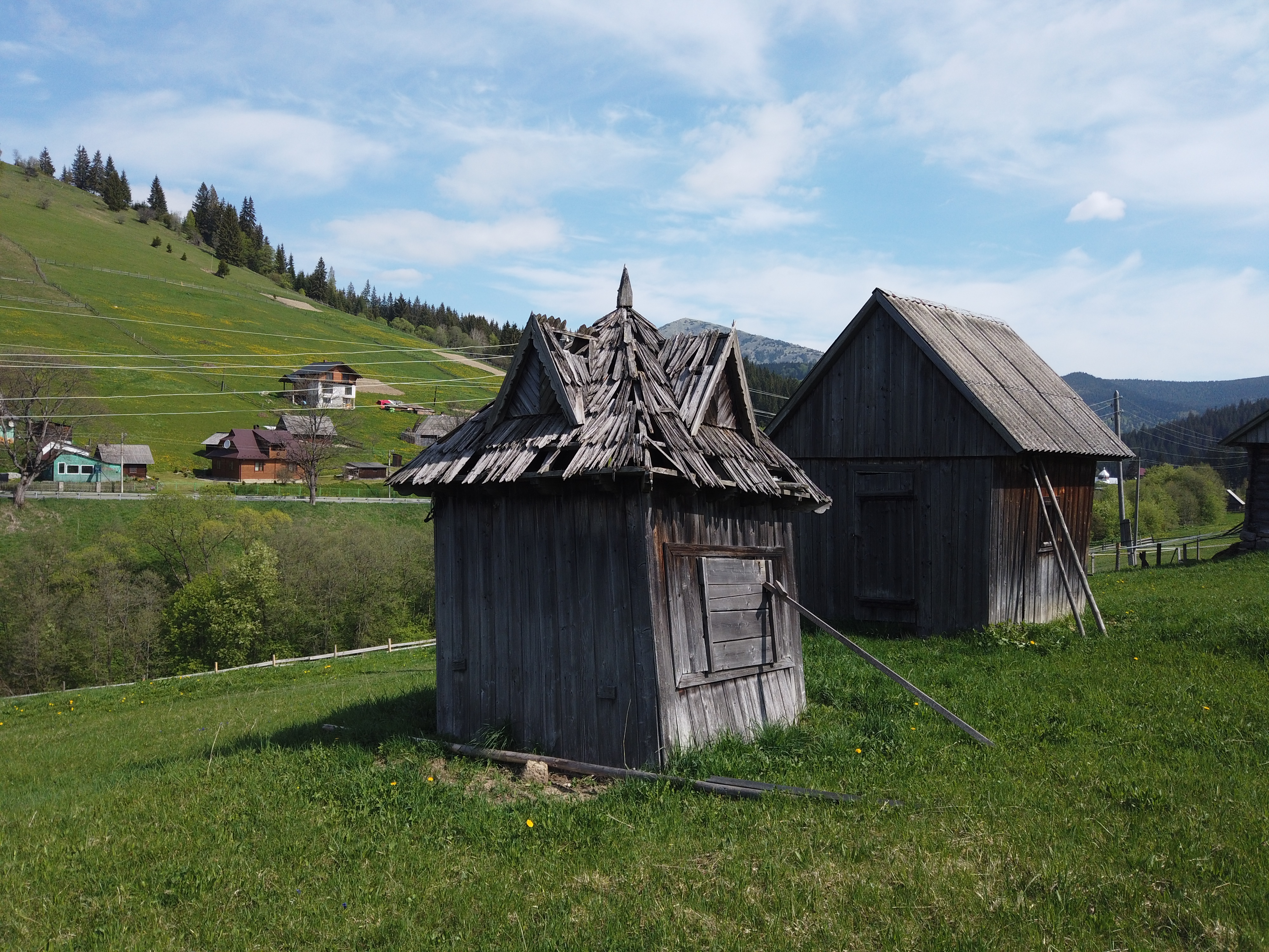 |
| Mount Mykulinka. An old barn |
You can start near the grocery shop located on the verge of the H 09 motorway Mukachevo-Ivano-Frankivsk-Lviv.
 |
| The village of Yablunytsia. The grocery shop near Mount Mykulinka |
Coordinates of Mount Mykulinka: 48°19'4"N 24°29'59"E
This story is also available in Ukrainian: Яблуниця. Гора Микулінка. Висота 997 м. Прогулянка для заряджання позитивом

No comments:
Post a Comment
Leave your impression